
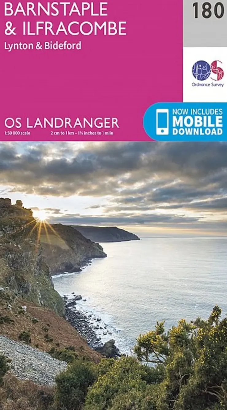
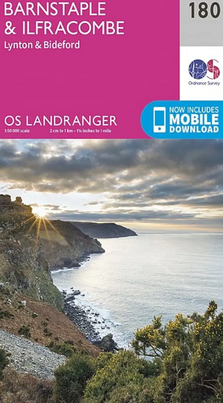
Maps And Books-Ordnance Survey OS Landranger Map 180 – Barnstaple and Ilfracombe Lynton and Bideford
8,17 £
Most detailed map for outdoor activities.
The OS Landranger Map series covers Great Britain with 204 detailed maps, perfect for day trips and short breaks. Each map provides all the information you need to get to know your local area and includes places of interest, tourist information, picnic areas and camp sites, plus Rights of Way information for England and Wales. OS Landranger now includes a digital version of the paper map, accessed through the OS smartphone app, OS Maps.
- Page Size: 134 x 227 mm
- Publisher: Ordnance Survey
- Published Date: February 2016
- Edition: 2016 edition
- Binding: Sheet map (folded)
- Weight: 110g
Be the first to review “Maps And Books-Ordnance Survey OS Landranger Map 180 – Barnstaple and Ilfracombe Lynton and Bideford”
Related products
Sale!
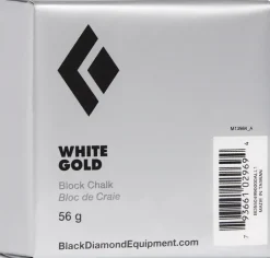
Chalk & Chalkbags
Original price was: 1,50 £.1,42 £Current price is: 1,42 £.
Sale!
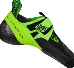
Climbing Equipment
Climbing Shoes|Performance Shoes-La Sportiva Skwama Vegan Climbing Shoes – Smaller Sizes
Original price was: 96,75 £.64,49 £Current price is: 64,49 £.
Sale!
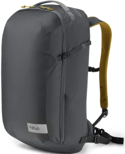
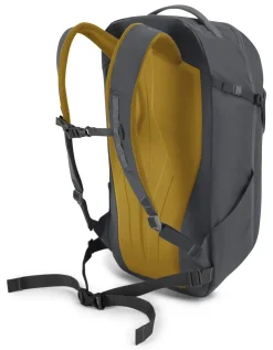
Climbing Equipment
Climbing Packs And Rope Bags|Climbing Packs-Rab Misfit 27 Rucksack – Ebony
Original price was: 58,50 £.42,67 £Current price is: 42,67 £.
Sale!
Original price was: 76,50 £.52,49 £Current price is: 52,49 £.
Sale!
Equipment
Original price was: 4,50 £.3,67 £Current price is: 3,67 £.
Sale!
Bouldering
Original price was: 238,50 £.96,67 £Current price is: 96,67 £.
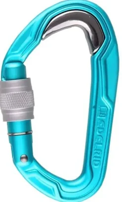
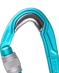
Carabiners & Quickdraws
Carabiners & Quickdraws-Edelrid Bulletproof Screw Carabiner – Icemint
10,42 £
50,99 £

10,49 £
Sale!

Equipment
Original price was: 5,25 £.4,49 £Current price is: 4,49 £.
Sale!
Original price was: 6,75 £.5,17 £Current price is: 5,17 £.
Equipment
55,49 £

29,99 £
Sale!


Original price was: 12,75 £.9,74 £Current price is: 9,74 £.
Sale!


Equipment
Maps And Books-Climber’s Club Climbers Club Guide The Sandstone Outcrops of the Forest of Dean
Original price was: 9,00 £.6,67 £Current price is: 6,67 £.
Climbing Equipment
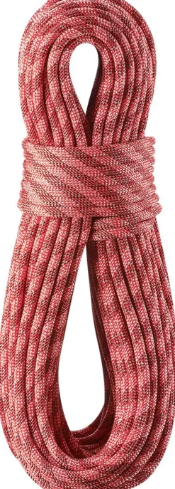
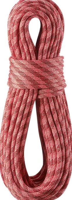
Ropes & Slings-Edelrid Python 10mm x 50m Climbing Rope – Red
75,74 £

Reviews
There are no reviews yet.